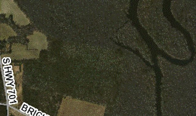
When Native American hunters first scoured the landscape to feed their tribes, the water courses traversing the land were prime places to encounter game animals. Today, rivers, swamps and streams remain hot spots for locating deer and other animals, but hunters with instant access to aerial imagery have an upper hand on the early hunters.
Technology available in the 21st century gives hunters an edge on understanding the makeup of the landscape and can highlight specific features without one ever leaving the computer screen. For any given area in North Carolina, dozens of aerial photographs and satellite images are available to view online with the click of a mouse.
With the help of imagery, hunters can unravel the mystery of the land cover and figure out where and what makes deer movements possible. Photographs will show locations of fields and major feeding or travel corridors, and with a trained eye, a hunter can make a pretty good guess how and where deer should be when traveling from one place to another.
Wooded corridors and water courses are visible from above; everything from bedding grounds to feeding areas can be seen in the photographs. But hunters should visit these areas on foot for confirmation from tracks and highly traveled trails.
Many companies charge for the ability to access downloaded aerial imagery, but plenty of free websites exist to offer an excellent view of the landscape.
Google Earth is the most-popular web-based program available. Users of Google Earth can view their hunting property through multiple years of imagery ranging from the early 1990s to the present.
Beyond the desktop or laptop computer, hunters with smart phones can download free applications that will show imagery remotely from wherever the hunter is at any given time. One of the best ones is made by ESRI, called ARC-GIS. When using this free application, the program will show the aerial image overlay and the actual location of the phone on the map itself.


Be the first to comment