NC 12 still closed south of Oregon Inlet
After Hurricane Sandy’s winds, waves, rain and beach- and road-eating waves, the main problem for fishermen on the Cape Hatteras National Seashore is lack of access.
The Herbert C. Bonner Bridge that spans Oregon Inlet was closed to automobile traffic for a week after the storm while engineers did safety checks, and the N.C. Department of Transportation said the bridge will remain closed until NC 12 is repaired to the south.
The highway south of the bridge goes through the Cape Hatteras National Seashore and the Pea Island National Wildlife Refuge, plus the villages of Rodanthe, Waves, Salvo, Avon, Frisco and Hatteras.
Margaret Cronin of the Oregon Inlet Fishing Center said, “(Offshore) boats also won’t be able to go out (of Oregon Inlet) until the inlet channel is checked. The boats moved out to Wanchese last Friday. Captains are calling now and asking when they can come back.”
Before Sandy’s arrival, the U.S. Army Corps of Engineers was attempting to dredge the Oregon Inlet channel, “but now I don’t know if they can even do that until the bridge is declared okay,” she said.
Rsidents and anglers on Hatteras Island are stranded unless they take an emergency ferry running from Stumpy Point to Rodanthe that makes the crossing seven time a day. Last year, Hatteras Island residents relied on the ferry for six weeks after Hurricane Irene.
The Hatteras-to-Ocracoke ferry is expected to open on Wednesday, November 7.
Surf fishing is excellent right now, but no fishermen are visiting the villages and beaches.
“There’s nobody here,” said Frank Folb, who operates Frank & Fran’s Tackle Shop in Avon. “The ferry service is set up to let locals come back to the island and take visitors off, but puppy drum are so thick in the surf, it’s unreal.”
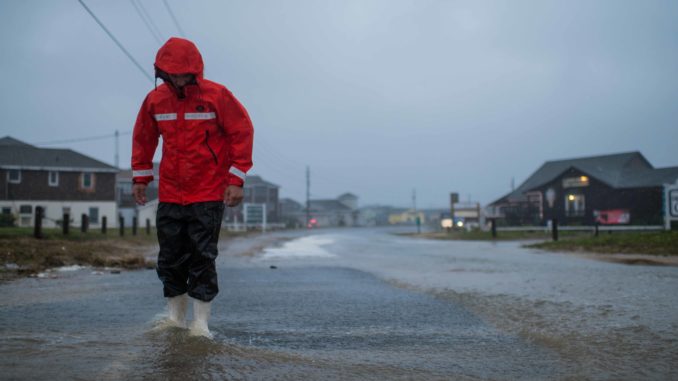
On Thursday, NC 12, which runs south from the Nags Head area, was covered in sand in many places caused by wave overwash. Some sections of on Hatteras Island were undercut by wave actions and remain unstable. The section north of Rodanthe looks like a throw rug, twisted and crumpled into a pile by a giant foot, with broken sections of asphalt and roller-coaster sections cracked and scattered by Sandy’s 20-foot waves.
Ocean overwash collapsed dunes between Hatteras and Frisco and covered NC 12 with sand. The road had been passable only during low tides Tuesday and Wednesday to 4-wheel drive vehicles. With the storm moving north, the N.C. Department of Transportation closed this section Thursday morning to allow road crews to clear sand.
The Avalon Pier suffered the most damage to any oceanfront fishing structure. Sandy’s waves broke it into three sections and lopped off its end.
“The Rodanthe pier got whacked, too, and lost 40 feet at the end, and the Avon Pier lost 35 or 40 feet at the end,” Folb said.
Sandy completely overwashed Ocracoke Island with two to three feet of water at its height.
At Corolla north of Kitty Hawk, NC 12 was clear, but the 4-wheel-drive part of the beach road where the pavement ends and extends north to the Virginia border remains impassable.


Be the first to comment